A recent four-storey residential development in Buderim required site-specific seismic input for design. The project team needed reliable VS30 data to classify the site per AS 1170.4, especially given the underlying weathered phyllite and colluvium layers that can amplify ground motion. We deployed a 48-channel MASW array along the proposed building footprint, generating a 2D shear wave velocity profile down to 30 metres. The resulting VS30 value of 420 m/s placed the site in Class C (shallow soil), which directly influenced the design spectrum and foundation detailing. For projects where deeper stratigraphy matters, combining MASW with tomografía sísmica provides a continuous velocity model that refraction methods cannot resolve in velocity inversions. The survey was completed in two days with minimal surface disturbance, a practical advantage on the Sunshine Coast's vegetated lots.
The resulting VS30 value of 420 m/s placed the site in Class C, directly influencing the design spectrum and foundation detailing.
Scope of work
The Sunshine Coast presents a varied geological patchwork: the coastal plain features Quaternary sands and estuarine silts, while the hinterland rises into metamorphic basement with variable weathering profiles. MASW surveys handle this heterogeneity well because the surface-wave inversion resolves both low-velocity layers (soft sands near Marcoola) and high-velocity bedrock (phyllite at Nambour). Key characteristics of the method include:
Non-invasive deployment – no boreholes required, ideal for environmentally sensitive coastal buffers
Depth penetration of 30-50 m using 4.5 Hz geophones and a 2 m receiver spacing
Direct measurement of small-strain shear modulus (Gmax) for dynamic analyses
When the target is shallow foundation design, we cross-validate results with placa de carga to correlate modulus reduction curves. The MASW dispersion curve is inverted using a genetic algorithm that accounts for the velocity gradient typical of the Sunshine Coast's residual soils, where decomposition profiles can create deceptive low-velocity zones above intact rock. This level of detail is what distinguishes a production survey from a reconnaissance one.
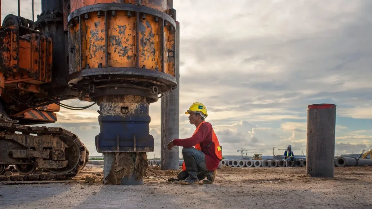
Technical reference image — Sunshine Coast
Area-specific notes
AS 1170.4 (2023) mandates site classification based on VS30 for all structures Importance Level 2 and above. On the Sunshine Coast, the risk of underestimating site class is tangible: a site classified as Class C when it is actually Class D (deep soft soil) can shift the spectral acceleration by 30-40% at short periods. The consequence is either a non-conservative design (foundation punching failure) or excessive conservatism (over-priced deep foundations). Our MASW surveys mitigate this by producing a continuous velocity profile that captures layer transitions, not just an average. We apply the NEHRP site-classification criteria (ASCE 7-22 Table 20.3-1) and report VS30 as the harmonic mean over the top 30 m. This approach has identified unexpected soft layers in the Maroochydore river corridor that would have been missed by a single SPT log alone.
Multi-channel analysis of surface waves along a linear array. Produces a 2D shear wave velocity cross-section down to 50 m depth. Ideal for seismic site classification and foundation design on residential blocks and medium-rise developments.
02
VS30 Determination
Harmonic-mean VS30 calculation from the 1D velocity model, with site class assignment per AS 1170.4 and ASCE 7. Includes uncertainty quantification and report-ready classification table.
03
Seismic Site Response Analysis
Uses the VS profile as input for 1D equivalent-linear ground response analysis (DEEPSOIL or SHAKE). Outputs surface acceleration spectra and amplification factors for design spectrum modification.
Standards used
AS 1170.4:2023 (Structural design actions – Earthquake actions), AS 1726:2017 (Geotechnical site investigations), ASCE 7-22 Chapter 20 (Site Classification for Seismic Design), NEHRP Recommended Seismic Provisions (FEMA P-749)
Frequently asked questions
How does MASW differ from the SPT method for site classification on the Sunshine Coast?
MASW directly measures shear wave velocity in the field, which is the parameter required by AS 1170.4 for site class definition. The SPT provides blow counts (N) that must be correlated to VS using empirical relationships (e.g., Seed & Idriss, 1970), which add uncertainty. In Sunshine Coast's residual soils, where N-values can be high even in weathered rock, the correlation may underestimate site class. MASW avoids this step and gives a direct, continuous velocity profile.
What is the typical cost range for a MASW survey in this region?
For a standard 48-channel array covering a single building footprint, the cost typically ranges between AU$2.870 and AU$5.400, depending on site access, required depth of investigation, and reporting detail. This includes field work, data processing, inversion, and a formal report with VS30 classification. Multi-array or large-area surveys are quoted per linear metre.
Can MASW be used on steep slopes or heavily vegetated sites in the hinterland?
Yes, MASW is a surface-based method that requires only a linear path for geophone placement. On the Sunshine Coast hinterland, we have successfully deployed arrays along contour lines on slopes up to 25 degrees. Vegetation is managed by clearing a 1 m wide corridor. The method is non-invasive and leaves no borehole, which is an advantage in environmentally sensitive areas like the Mary River catchment.