Sunshine Coast's coastal geology often masks water tables and bedrock contacts that standard boreholes miss. We use electrical resistivity and vertical electrical sounding (VES) to map these layers without drilling. The method is non-invasive and quick, covering large areas in a single day. For projects near the Maroochy River or hinterland slopes, this data helps decide where to place test pits or drill holes. Before any deep excavation, pairing resistivity with a study of soil mechanics gives a complete picture of ground conditions. It also reduces the risk of hitting unexpected rock or perched water.
A single VES profile can locate a perched water table at 6 m depth that standard drilling would miss entirely.
Scope of work
The subsurface around Sunshine Coast is dominated by coastal sands, clayey soils from the Mary River catchment, and volcanic rock in the Blackall Range. Electrical resistivity distinguishes these materials by measuring how each layer conducts current. Dry sand shows high resistivity, while saturated clay or saline groundwater registers low values. This makes VES ideal for locating the fresh-salt water interface near coastal subdivisions.
**Depth range**: 5 m to 80 m depending on electrode spacing.
**Resolution**: detects layers as thin as 1 m in favourable conditions.
Combining resistivity with MASW-Vs30 surveys improves shear-wave velocity estimates for seismic site classification under AS 1726. The two methods together produce a solid 2D model of the ground without a single borehole.
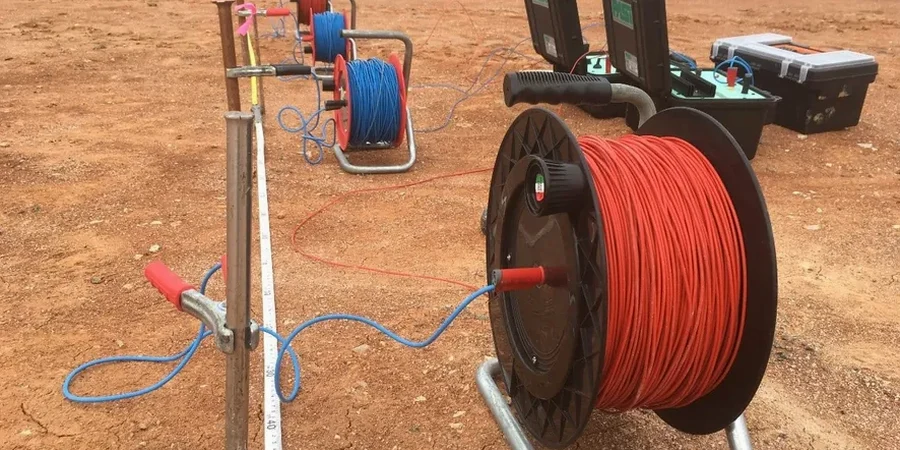
Technical reference image — Sunshine Coast
Area-specific notes
Sunshine Coast has grown rapidly since the 1990s, with estates built on former floodplains and cleared rainforest soils. Many subdivisions now face drainage problems and unexpected settlement because the original site investigations relied only on shallow test pits. Resistivity surveys catch deep clay lenses and old stream channels that cause differential movement. Ignoring these features can lead to slab cracks or retaining wall failures within five years. A proper geoelectrical survey before slab-on-ground construction avoids these hidden risks.
Multi-electrode array that produces cross-sectional images of the subsurface. Ideal for mapping contamination plumes, sinkhole paths, and bedrock depth on sloping sites. Data is inverted using Res2DInv and delivered as interpreted sections with depth and resistivity values.
02
Vertical Electrical Sounding (VES)
This service complements our laboratory testing work for a complete project analysis.
Standards used
AS 1726 – Geotechnical site investigations, AS 1289 – Standard guide for DC resistivity, AS/NZS 1170.0 – Structural design actions
Frequently asked questions
How deep can a VES survey reach on Sunshine Coast sites?
With a Schlumberger array and 200 m electrode spacing, we reach 60–80 m in most coastal sands. On the Blackall Range volcanic soils, depth reduces to 40–50 m due to higher background resistivity.
What is the typical cost range for a resistivity survey in this region?
A standard 2D ERT profile (200 m length) costs between AU$1,040 and AU$1,780. VES single points are AU$520–AU$870 each. Final price depends on access, vegetation, and number of soundings.
Can resistivity detect saline groundwater intrusion?
Yes. Fresh water typically shows resistivity above 30 ohm-m, while saline groundwater drops below 5 ohm-m. In coastal Sunshine Coast suburbs like Kawana Waters, VES profiles clearly map the freshwater-saline interface at depths of 10–25 m.
How does resistivity compare with drilling for site classification?
Resistivity provides continuous lateral coverage, whereas boreholes give point data. For seismic site classification (AS 1726), we recommend combining resistivity with MASW-Vs30 to estimate Vs30 across the whole site. This reduces the number of required boreholes.